Azores GPS: every island ready for Google Maps
Travelling around the Azores is much easier when each stop is already organised on your phone. This Azores GPS guide brings together practical Google Maps routes for the nine islands, with viewpoints, lakes, hot springs, beaches, trails, ports, villages and essential stops grouped by area.
The goal is simple: open the island guide, choose the area you want to explore and launch the route directly in Google Maps. It is especially useful if you are renting a car, planning several days on the same island or combining more than one island in the same trip.
Why use GPS routes in the Azores?
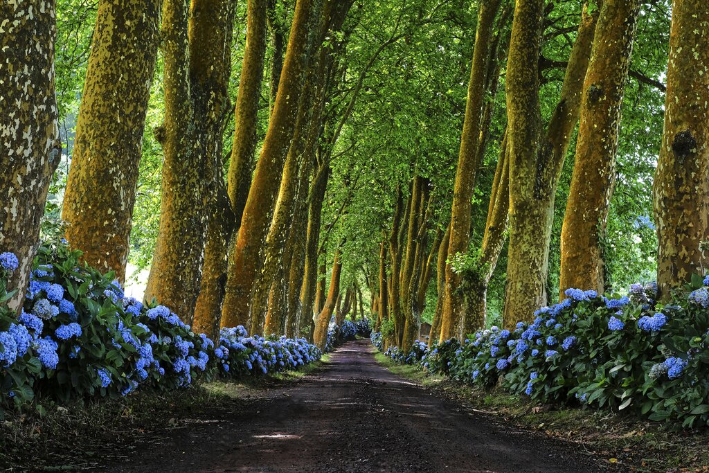
The Azores are not difficult to explore, but distances, weather and road access can change the rhythm of a day. A route that looks short on a map may include narrow roads, viewpoints where you will want to stop, thermal areas, coastal detours or mountain roads with fog.
Having the main places already grouped by island saves time, reduces improvisation and helps you avoid crossing the same island several times without need. It also makes it easier to adapt the day if the weather changes, which happens often in the Azores.
Choose your Azores island GPS guide
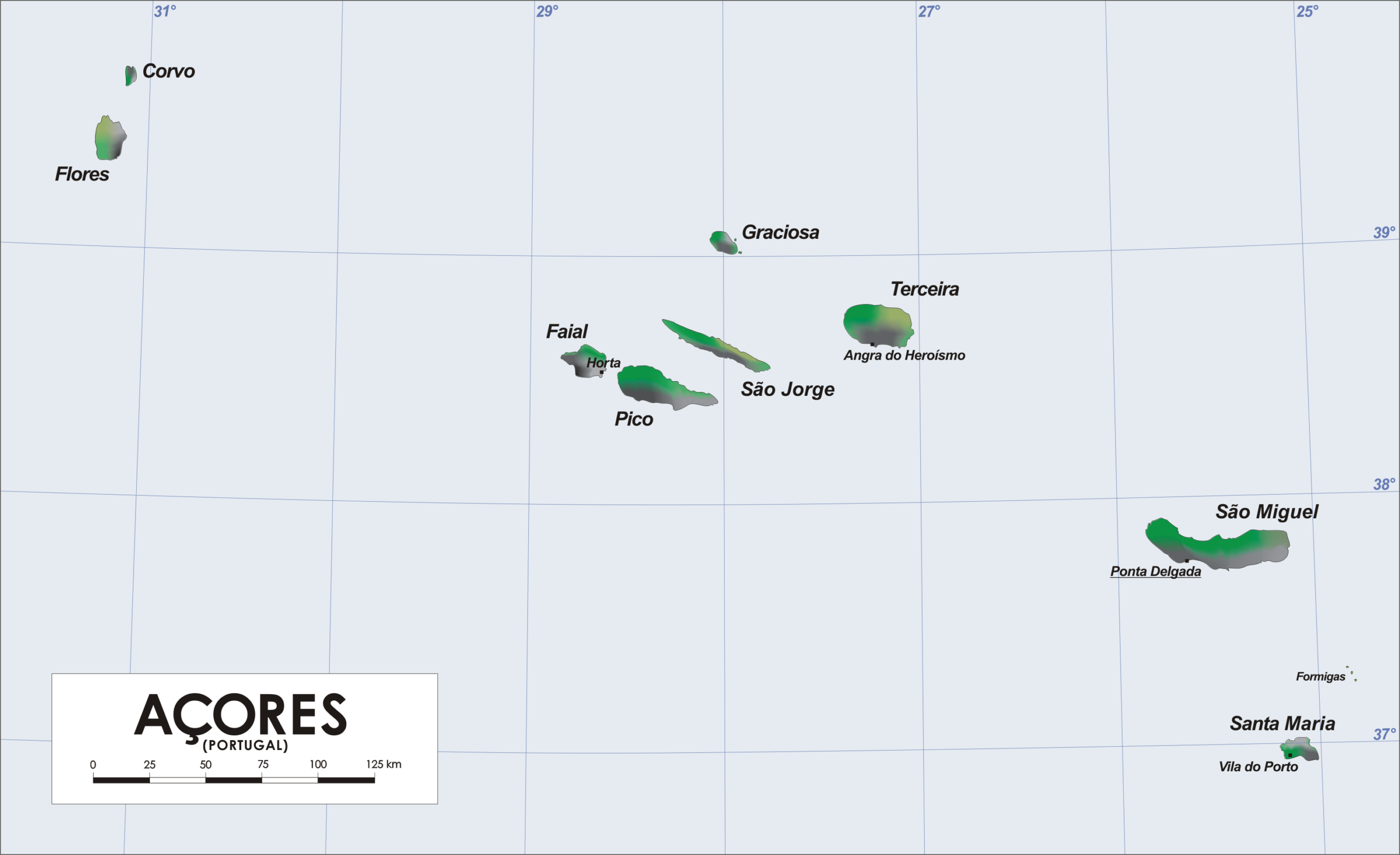
Each island has its own rhythm. São Miguel has lakes, hot springs and many viewpoints; Terceira combines heritage and natural pools; Pico is shaped by its volcano and vineyards; São Jorge is perfect for fajãs and coastal scenery; Flores and Corvo are wilder and more remote.

São Miguel GPS
Lakes, hot springs, viewpoints, tea plantations and essential stops grouped by area.
Terceira GPS
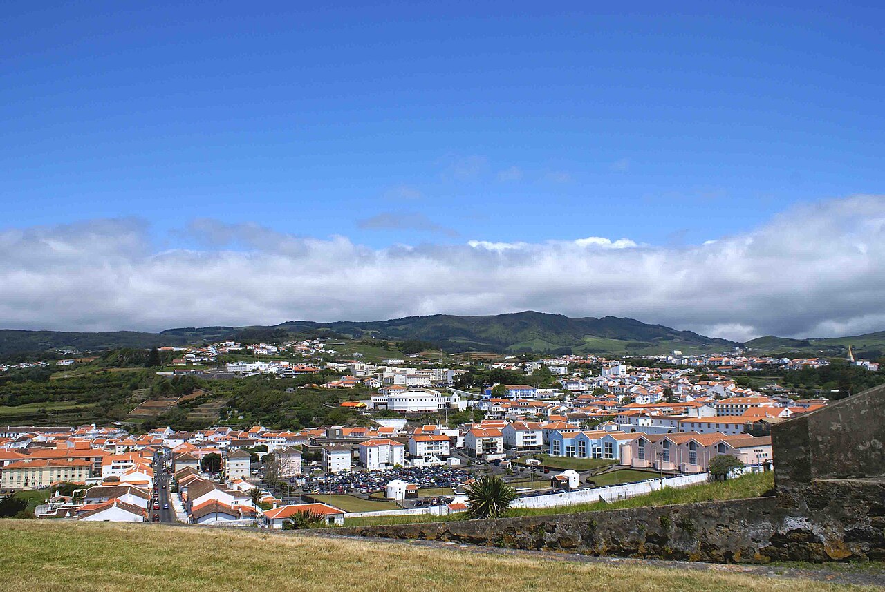
Angra do Heroísmo, volcanic caves, natural pools, viewpoints and coastal drives.

Pico GPS
Mount Pico, vineyards, lava landscapes, whale watching areas and coastal villages.
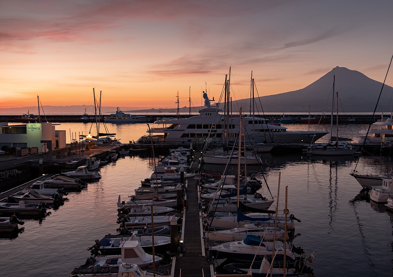
Faial GPS
Horta, Capelinhos volcano, Caldeira, viewpoints and practical stops around the island.
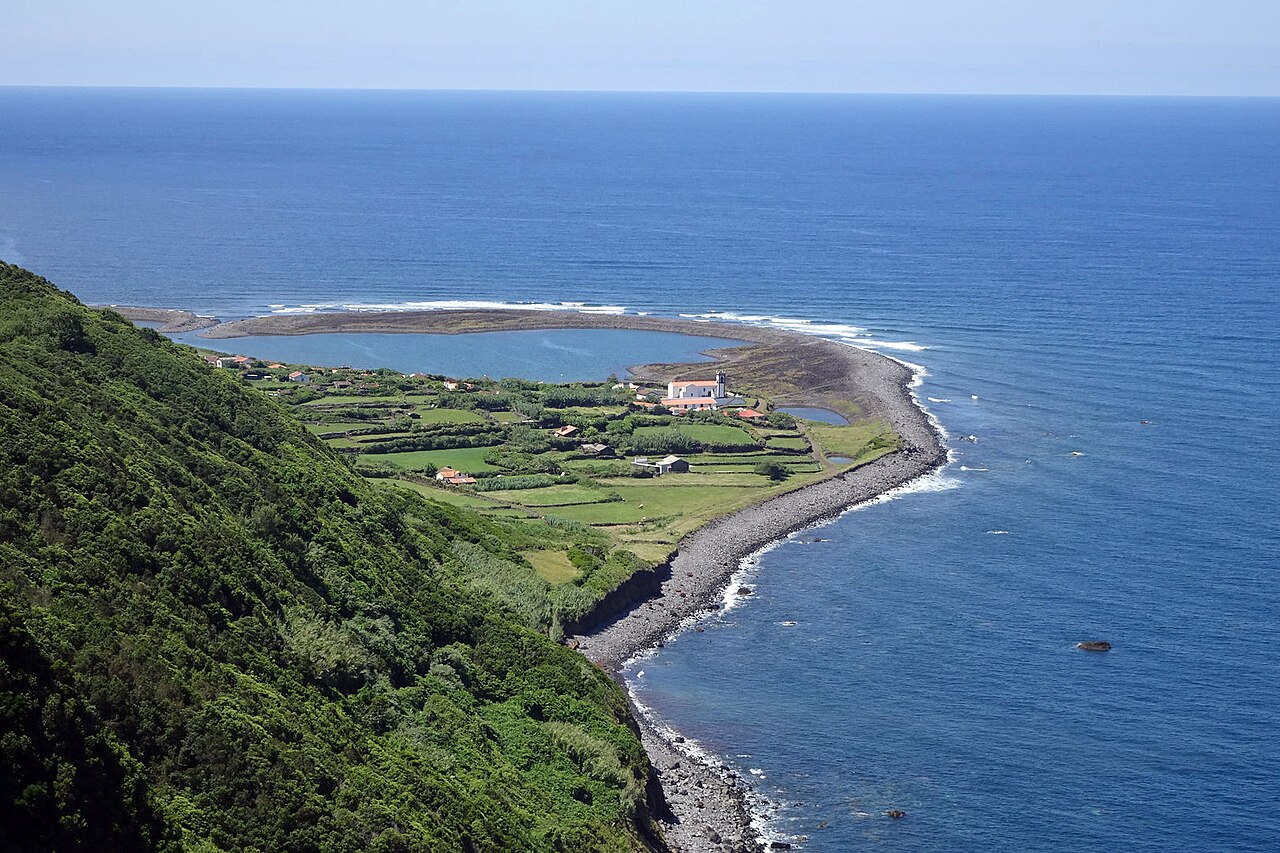
São Jorge GPS
Fajãs, cliffs, viewpoints, cheese stops and routes for exploring the long island road.

Flores GPS
Waterfalls, lakes, cliffs, natural pools and dramatic viewpoints in the western group.
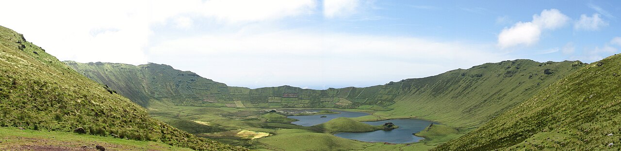
Corvo GPS
Caldeirão, Vila do Corvo and the essential stops of the smallest island in the Azores.

Santa Maria GPS
Beaches, viewpoints, dry landscapes, coastal villages and relaxed island routes.

Graciosa GPS
Furna do Enxofre, windmills, bathing areas, villages and quiet rural roads.
What kind of places are included?
The GPS guides are designed for real travel days, not just isolated landmarks. They combine iconic places with practical stops so you can build routes that make sense on the road.
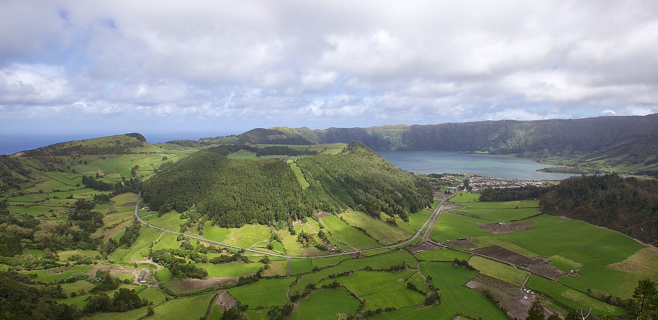
Viewpoints
Scenic stops with wide views over lakes, cliffs, volcanoes and the Atlantic.
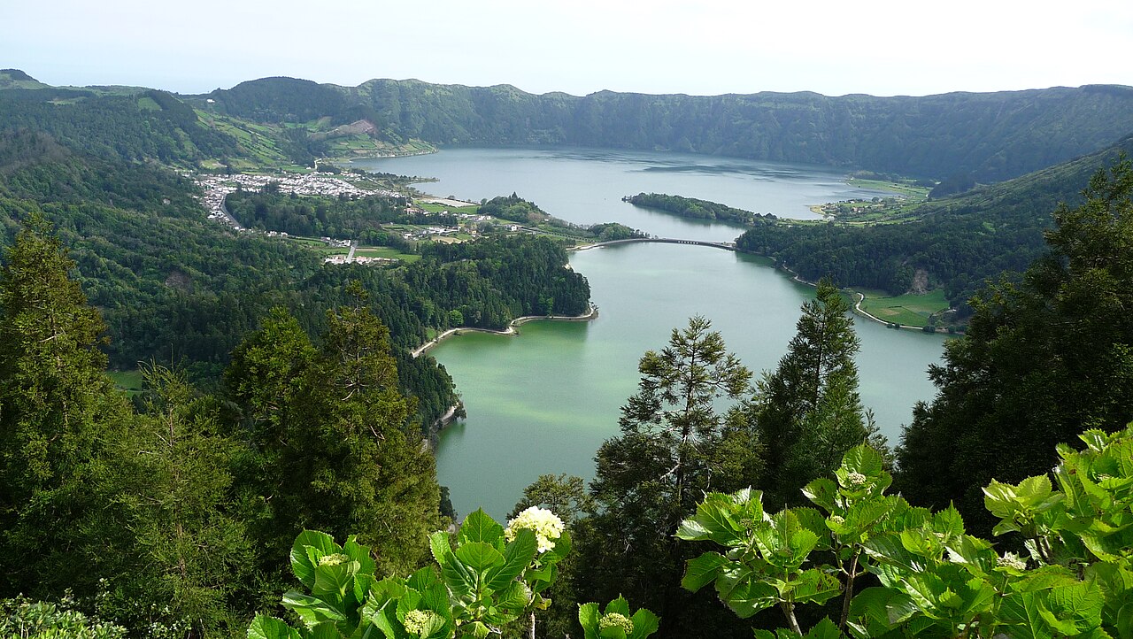
Lakes
Volcanic lagoons and crater landscapes that define the Azores.

Waterfalls
Green valleys, streams, cascades and humid Atlantic vegetation.
Beaches and natural pools
Bathing spots, black lava pools, sandy beaches and summer stops.
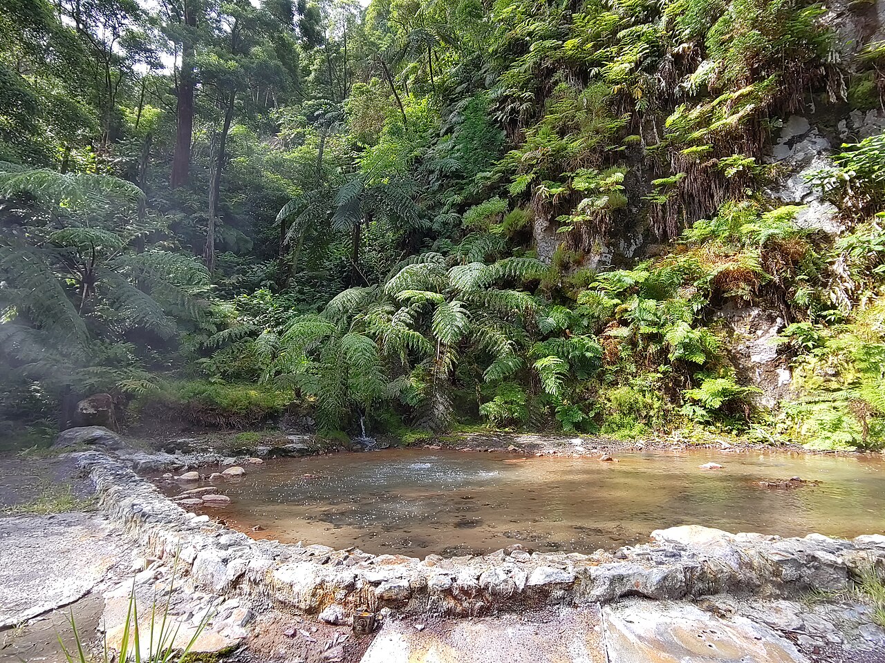
Hot springs
Thermal pools, fumaroles and volcanic areas where the earth is still active.

Trails
Walking routes, fajãs, coastal paths and places where access takes planning.
Renting a car for GPS routes in the Azores
For most islands, renting a car is the easiest way to use these GPS routes properly. Public transport is limited, taxis can be expensive for full-day exploration, and many viewpoints or natural areas are difficult to combine without your own vehicle.
Cars can sell out quickly in summer and on smaller islands. Booking early usually gives you more choice and better prices.
Activities to add to your route
GPS routes are useful for travelling independently, but some experiences in the Azores are better with a guide: whale watching, canyoning, boat trips, caves, wine tours or guided hikes.
Where to stay when using GPS routes
If you are planning several driving days, location matters. Staying in the right town can reduce daily driving time and make it easier to adapt routes when the weather changes.
Book early if you travel in summer, during holidays or if you want to stay in smaller islands with limited availability.
Azores GPS FAQ
Can I open these Azores GPS routes directly in Google Maps?
Yes. Each island guide includes buttons that open the selected route or place directly in Google Maps, so you can use it from your phone while travelling.
Do I need a rental car to follow the GPS guides?
On most islands, a rental car is highly recommended. Some places can be reached by taxi, tour or public transport, but a car gives you much more flexibility, especially for viewpoints, lakes, natural pools and remote areas.
Which Azores island is best for a first GPS route?
São Miguel is the easiest choice for a first trip because it has many iconic places, good road access and several route areas: Sete Cidades, Furnas, Lagoa do Fogo, Nordeste and the north coast.
Are the Azores GPS guides useful if the weather changes?
Yes. The guides are grouped by area, which makes it easier to change plans during the day. If one side of the island is cloudy, you can quickly choose another route with better conditions.
Can I use the GPS guides for a multi-island trip?
Yes. The main Azores GPS hub lets you jump between the nine island guides, so it is useful for planning a trip that combines São Miguel, Terceira, Pico, Faial, São Jorge, Flores, Corvo, Santa Maria or Graciosa.
Start planning your Azores route
Choose the island you are visiting first, open the GPS guide and save the places that fit your travel style. The Azores reward flexible planning: clear routes, enough time for weather changes and space to stop whenever the landscape asks for it.

