
How to use this Flores GPS map in Google Maps
This Flores GPS map gathers the most useful stops on the island with direct links to Google Maps. It is designed for travellers who want to open viewpoints, villages, natural pools, trails and practical stops from their phone without searching for each location during the trip.
GPS map details
| Main base | Santa Cruz das Flores |
|---|---|
| Recommended time | 2-3 days |
| Best use | Daily routes with Google Maps |
| Planning hub | Azores GPS |
Choose a stop, tap Open route in Google Maps and the destination will open so you can calculate the route from your current location. Save this page before travelling, especially if you plan to drive through rural roads, viewpoints or areas with weaker mobile coverage.
Essential Flores GPS stops
The essential Flores GPS stops include viewpoints, coastal areas, villages and natural landscapes that are easier to visit when each location is already prepared in Google Maps. These cards help you build a realistic route without losing time searching for addresses.

Poço da Ribeira do Ferreiro
Open route in Google Maps
Poço do Bacalhau
Open route in Google Maps
Rocha dos Bordões
Open route in Google Maps
Lagoas Negra y Comprida
Open route in Google Maps
Fajã Grande
Open route in Google Maps
Santa Cruz das Flores
Open route in Google Maps
Fajã de Lopo Vaz
Open route in Google Maps
Farol de Albarnaz
Open route in Google Maps
Farol da Ponta das Lajes
Open route in Google MapsDo you need a car for Flores?
On most Azores islands, a rental car is the easiest way to follow GPS routes at your own pace. Book early in summer and on smaller islands, where availability is limited.
Compare rental cars with DiscoverCars
Recommended activities in Flores
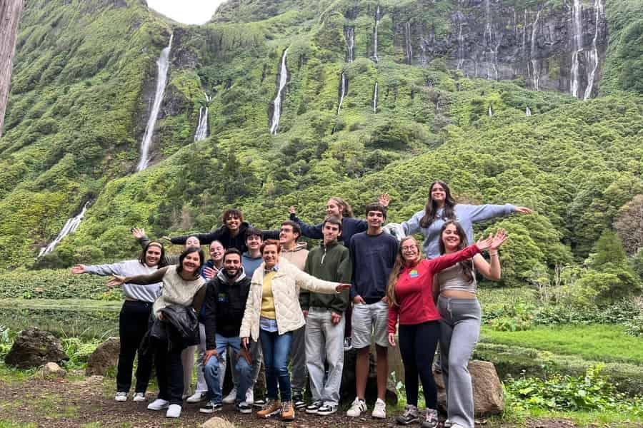
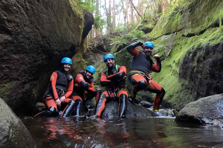
Some experiences in Flores are easier with a local guide, especially boat trips, guided hikes, caves, wine or nature activities depending on the island.
Where to stay in Flores
Choosing the right base helps reduce driving time and makes it easier to adapt your route to the weather. In high season, book early because availability can be limited on the smaller islands.
Compare hotels, guesthouses and apartments before the best locations sell out.
See accommodation in Flores
FAQ about Flores GPS
Can I open the Flores GPS stops directly in Google Maps?
Yes. Each card includes a direct route link that opens the place in Google Maps from your current location.
How many days do I need for Flores?
For a first trip, 2-3 days is a practical reference, although the exact time depends on your pace, weather and ferry or flight schedule.
Is this Flores GPS guide useful without a car?
It can still help you locate places, but having your own transport or joining guided tours makes it much easier to combine several stops in one day.
Should I save the locations before travelling?
Yes. Save the page and open key routes while you have connection, because coverage can be weaker in rural areas, cliffs, trails and mountain roads.
More Azores GPS guides
All Azores travel guides
Looking for an island, accommodation, routes or car rental advice? Browse our guides by island and topic, or search for exactly what you need.
Sources and credits
Writing and editing: Estrela do Nordeste · VisitarAzores.