
NatureSão Miguel
8 min read · Practical guide in English
Contents: find what you needOpen guide
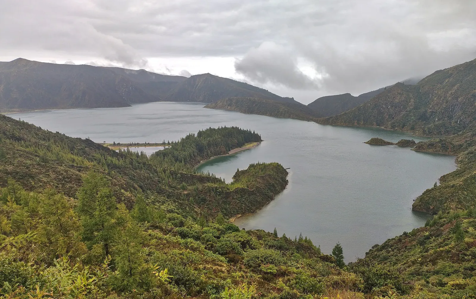
On the road across São Miguel’s interior, the landscape suddenly opens up and Lagoa do Fogo appears inside its crater. There are no houses around the shore, no road leading down to the water, just the lake and its green slopes. If the mist clears, it is one of the island’s most striking views. This guide explains access, viewpoints, the official walking route and how to avoid driving up only to find a wall of cloud.
Quick answer: the essentials of Lagoa do Fogo
The lake is in central São Miguel. Before setting out, check the live webcam and the current access arrangements: a shuttle service operates in the area, and seasonal road restrictions can affect private vehicles. Do not confuse the short descent visible from the viewpoints with the official PR02 SMI trail, which starts near Ribeira da Praia and requires a proper walking plan.
What is Lagoa do Fogo, and what makes it different?
It is a crater lake inside the Água de Pau volcano, in the heart of the island. What distinguishes it from São Miguel’s other lakes is what it does not have: no lakeside village, no road down to the water and no buildings crowding the view.
While Sete Cidades has its village and roads, and Furnas lies in an inhabited valley, Lagoa do Fogo is protected as a nature reserve. You can appreciate the crater from the viewpoints without committing to a long hike.
Its elevation is part of its appeal, but it also makes low cloud and mist important factors when planning a visit.
How to get to Lagoa do Fogo
See excursions to Lagoa do Fogo.
The lake lies in São Miguel’s interior, between the north and south coasts. The mountain road through the area connects the Ribeira Grande side with the south of the island.
The drive from Ponta Delgada is often estimated at around thirty minutes in straightforward conditions, but allow more time for curves, poor visibility and any access restrictions. The journey can offer views towards both coasts when the weather is clear.
Do not assume that a rental car can always reach or park at the viewpoints. Check the official Lagoa do Fogo shuttle information for the current operating period, stopping points and conditions. An organised excursion is another option; check its actual itinerary and pickup arrangements.
Use DiscoverCars to compare prices and rental conditions. Check the cancellation terms of the specific offer.
Parking
Check the current shuttle and road-access arrangements before choosing a parking place. Spaces near viewpoints do not mean that visitors may use them without restriction. Follow the signs and do not stop on narrow bends or road shoulders.
Save the relevant locations before leaving. The São Miguel GPS map brings together places of interest around the island. Check the current official trail starting point separately, and keep an offline map in case mobile coverage is poor.
The viewpoints: which should you choose?
There is more than one place to look over the lake, and the perspectives are different.
The Miradouro da Lagoa do Fogo is the familiar viewpoint over the crater and lake. In clear weather it provides a broad view of the landscape, which also makes it a popular stopping point.
The Pico da Barrosa viewpoint offers a higher perspective. When visibility allows, the views extend towards the island’s coastlines as well as the crater.
If access conditions permit, consider more than one viewpoint. Light and cloud can vary across the mountain, but there is no guarantee that moving to another stop will reveal a clear lake.
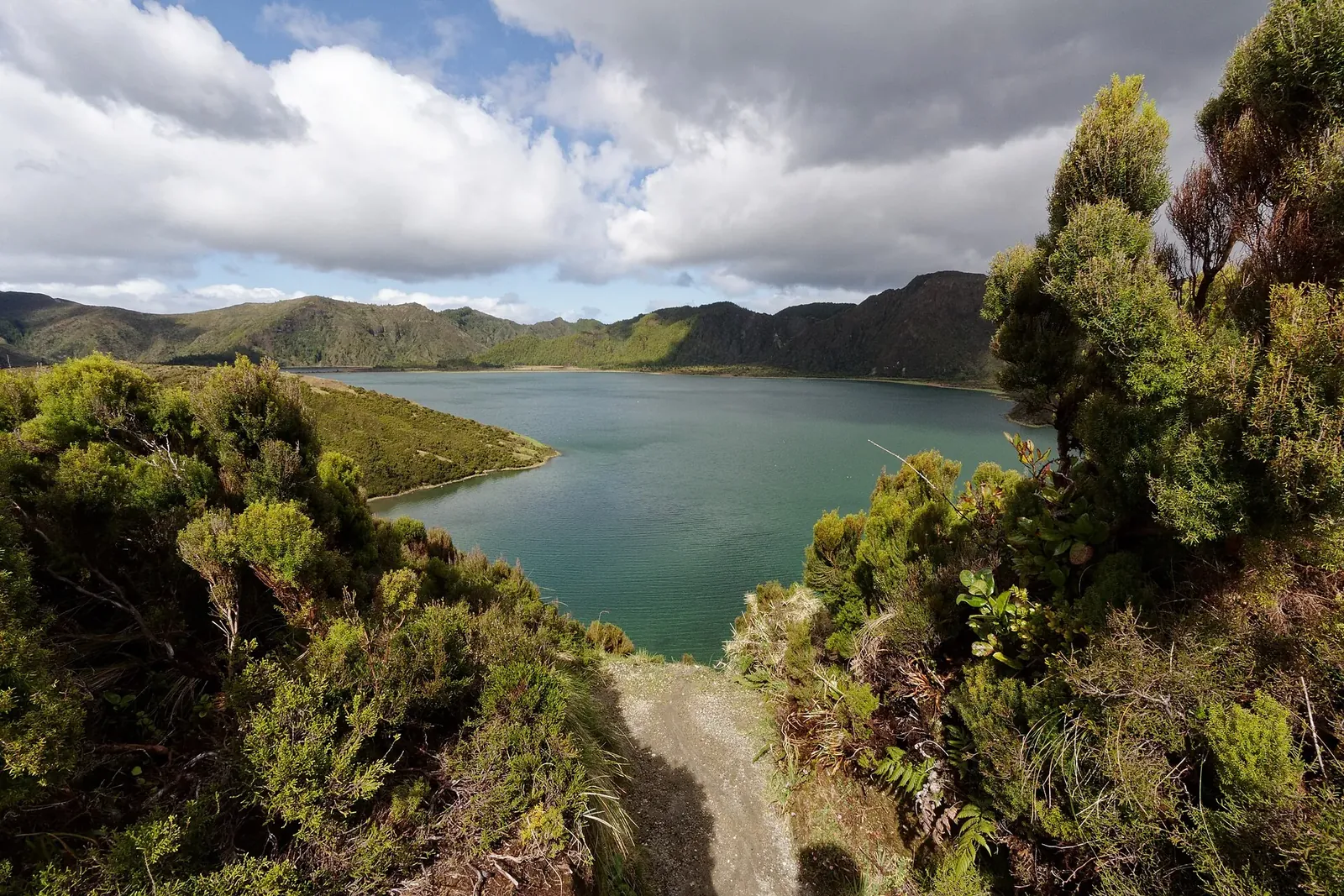
Mist: the factor that can decide your visit
Lagoa do Fogo can disappear into mist quickly. A clear view from Ponta Delgada does not mean that the mountain is clear.
You can leave the coast in sunshine and reach a viewpoint inside low cloud. Treat visibility at the lake itself as a separate question from the weather outside your accommodation.
Give yourself a better chance
- Check the webcam before setting out. Early morning can be worth considering, but no fixed hour guarantees a clear view.
- Keep the day flexible. If you have several days on São Miguel, choose the visit around actual conditions rather than a rigid checklist.
- Look at the live image, not only a weather icon. SpotAzores has a camera named Lagoa do Fogo, so check what is visible at the lake.
- If you arrive in mist, reassess safely. It may clear briefly, or it may persist. Do not wait on an unsafe roadside or assume that it must lift.
No month or fixed hour guarantees clear views. Check the lake webcam and current conditions before setting out. For seasonal context, read our guide to the best time to visit the Azores.
SpotAzores: check before you drive
SpotAzores provides webcams across the islands, including one named Lagoa do Fogo. Other cameras cover Sete Cidades and Furnas, which can help you compare options for the day.
You can check the service in a browser or its mobile app. Use the image and its timestamp to judge what it shows; it is a view of conditions at that moment, not a promise about the rest of the day.
A quick webcam check before leaving can save an unnecessary mountain drive. Keep a second plan ready if the lake is hidden.
Walking to the lake: the trail
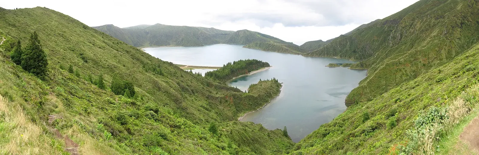
Seeing the shore from above does not mean that any visible path is an authorised route. Use the official trail information and respect closures and reserve signs.
The official Azores Trails portal describes the certified PR02 SMI route starting beside Parque Escutista dos Lagos, near Ribeira da Praia. Do not confuse it with a short descent from the roadside viewpoints. Check the current route description, map and alerts: the official pages consulted do not agree on every route detail.
The walk reaches the crater-lake landscape, but it needs time, suitable equipment and conditions appropriate for your group. Do not treat the return journey as an afterthought or assume that a downhill section makes the whole walk easy.
What to take
- Footwear with grip. Uneven, wet ground can be slippery.
- Water and enough supplies for the full walk. Do not rely on buying something at the lakeside.
- A windproof layer. Exposed conditions can feel cold even if the coast was sunny.
- A way to carry out all your rubbish. This is a protected landscape, not a serviced picnic area.
Check the official trail status before walking. Respect closures rather than trying an unmarked alternative. Our guide to hiking on São Miguel provides broader planning advice.
What to combine with the visit
Compare guided walks on São Miguel.
Lagoa do Fogo can fit into a day exploring the island’s interior and north coast, provided the driving and access arrangements work for your dates.
On the Ribeira Grande side, consider whether the north-coast tea plantations fit your available time. Caldeira Velha, on the mountain road, is another possible stop: a thermal area among dense vegetation. Check its booking and entry conditions in the Caldeira Velha guide, rather than assuming you can arrive and bathe immediately.
If thermal bathing is part of the trip, compare other options in the Azores hot springs guide.
Guided excursions to Lagoa do Fogo
If you do not want to drive, compare organised excursions that include Lagoa do Fogo. Read the itinerary carefully: a viewpoint stop and a hike to the lake are different activities. Check whether pickup, transfers and any entry or shuttle charges are included.
Check whether the activity includes viewpoints or a hike, and whether pickup, transfers and fees are included.
Frequently asked questions about Lagoa do Fogo
How long does it take from Ponta Delgada?
The drive is often estimated at around thirty minutes in straightforward conditions. Allow extra time for the mountain road, visibility, stops and any current shuttle or private-vehicle access restrictions.
Can you swim in Lagoa do Fogo?
Do not treat the lake as an authorised bathing site. It is a protected reserve: follow the current signs and official rules, and stay on the authorised route. Reaching the shore does not itself give permission to swim.
What is the best time to visit?
Choose a time when the lake’s live webcam and local conditions show useful visibility. Early morning is an option, not a guarantee. Check access arrangements and keep enough flexibility to change your plan if the mountain is covered.
Do you need a car to get there?
Not necessarily. There is a shuttle service in the Lagoa do Fogo area, and organised excursions are another option. Check the current timetable, stops and private-vehicle restrictions before deciding how to travel.
How much does entry cost?
Do not assume that every part of the visit is free. Check the official access arrangements and any current shuttle fare before travelling. Guided excursions and a separate visit to Caldeira Velha have their own booking conditions and charges.
Is the walk down to the lake difficult?
The certified route described by Azores Trails is graded moderate and requires planning a walk of several hours. Do not confuse it with a short descent from the roadside viewpoints. Check the current route description, map and alerts, and take suitable footwear and water.
What should I do if the lake is covered in mist?
Wait only where it is safe, and reassess rather than assuming the cloud will clear. Consider another stop, such as Caldeira Velha if it is open and you have an appropriate booking, or try the lake on another day after checking the webcam.
Is there a live webcam at Lagoa do Fogo?
Yes. SpotAzores has a camera named Lagoa do Fogo, as well as cameras at Sete Cidades and Furnas. Check it in a browser or the mobile app before leaving, and look at the image timestamp.
Related guides for your next step
Best Things to Do in São Miguel Azores
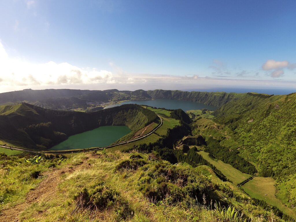
São Miguel is the best island in the Azores for a first trip: volcanic lakes, hot springs, tea plantations, viewpoints, waterfalls and black-sand beaches…
Choose places to visit
Furnas São Miguel Azores
Furnas São Miguel Azores: this guide explains the geothermal valley, hot springs, caldeiras, Lagoa das Furnas and the volcanic stew cooked underground. Furnas is…
Choose places to visit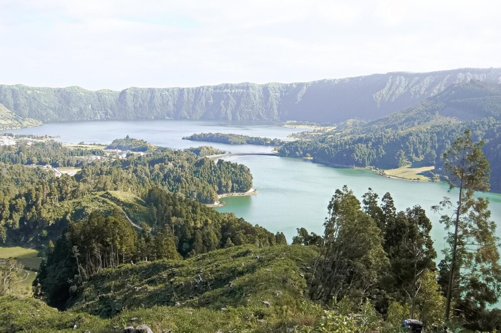
Sete Cidades Azores
Sete Cidades Azores: this guide explains the volcanic lakes, main viewpoints, best routes and practical tips for visiting São Miguel’s most famous landscape. Sete…
Choose places to visit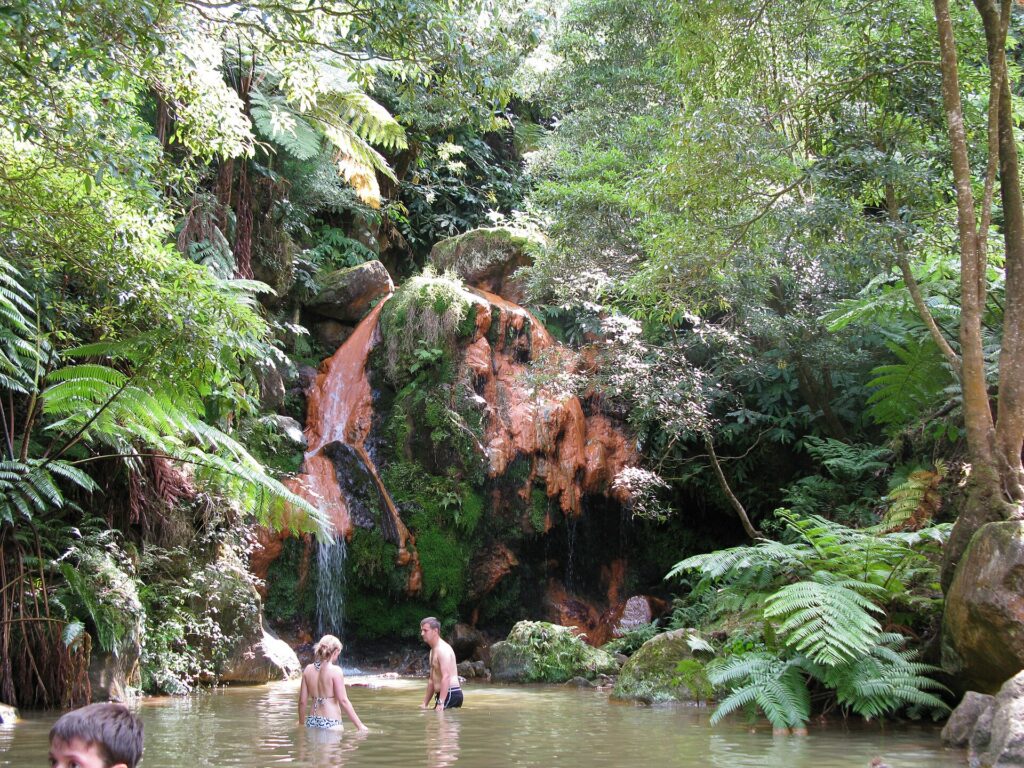
Caldeira Velha: Tickets, Pools and Visiting Tips
Caldeira Velha feels like a small tropical refuge on the slopes below Lagoa do Fogo. Giant ferns, dark rock, steam and a warm waterfall…
Plan your hot spring visit