
How to use this São Miguel GPS map in Google Maps
This São Miguel GPS map brings together the essential places on the island with direct links to Google Maps. It helps you organise routes through Sete Cidades, Lagoa do Fogo, Furnas, Nordeste and the coast without searching for every address during your trip.
GPS map details
| Main base | Ponta Delgada |
|---|---|
| Area | Around 745 km² |
| Highest point | Pico da Vara, 1,103 m |
| Recommended time | 4-5 days |
| Recommended transport | Rental car |
See also the Azores GPS hub to access the maps for the other islands.
This guide is designed to open viewpoints, lakes, beaches, hot springs, natural parks and key stops directly in Google Maps from your phone. Choose the place you want to visit, tap Open route in Google Maps and the destination will open so you can calculate the route from your current location.
To explore these places with freedom, renting a car is strongly recommended. Many of the most beautiful places in São Miguel are spread across the west coast, Furnas, Ribeira Grande and Nordeste.
What are the essential places in São Miguel by GPS?
The essential São Miguel GPS stops include Sete Cidades, Lagoa do Fogo, Furnas, Caldeira Velha, tea plantations, waterfalls, viewpoints and volcanic coast. Each card opens the exact location in Google Maps so you can calculate the route from your position and organise a daily itinerary without searching for addresses.


What to see in São Miguel by area with GPS
São Miguel is best explored by area. This avoids unnecessary driving and gives you more time for viewpoints, lakes, thermal pools and coastal stops.
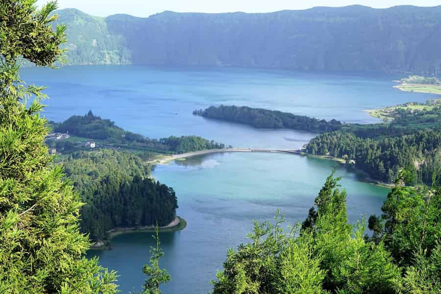
Sete Cidades and the west coast
The western area combines São Miguel’s most famous volcanic lakes, green viewpoints and the Ferraria coast.

Furnas: hot springs, fumaroles and lake
Furnas is one of the most special areas in São Miguel, with fumaroles, thermal waters, gardens and volcanic landscapes.

Central area: Caldeira Velha, tea and north coast
The central-north area combines hot springs, tea plantations and some of the most impressive coastal viewpoints on the island.

South coast: Ribeira Quente and Praia do Fogo
The south coast has small fishing villages, beach stops and volcanic coastal scenery.
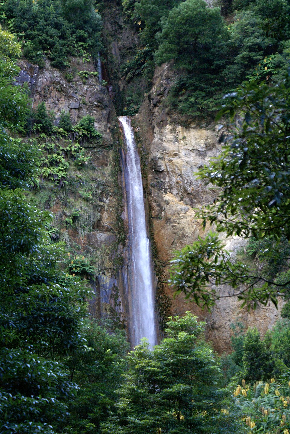

Nordeste: waterfalls, viewpoints and lighthouses
Nordeste is one of the greenest and most authentic areas of São Miguel, with waterfalls, old mills, coastal roads and dramatic viewpoints.


Are you exploring São Miguel by car?
In high season, the cheapest cars sell out quickly. Comparing in advance helps you save money and many rates include free cancellation.
Compare rental cars in São Miguel
How to use this São Miguel GPS guide
Start by choosing the area of the island you want to visit that day. If the weather is cloudy in Sete Cidades, switch to Furnas, the north coast or Nordeste. The guide is organised so you can quickly adapt your plan without losing the whole day.
Recommended activities in São Miguel
Some experiences in São Miguel are easier with a guide, especially whale watching, canyoning, guided hikes and boat trips.
Choose an activity in the area you plan to explore. Sete Cidades and pineapple fit the west; Furnas with cozido fits the valley; Janela do Inferno and Caldeira Velha make a hiking day. Check meeting points and inclusions before fixing your GPS route.


Where to stay in São Miguel
Ponta Delgada is the most practical base for a first trip, but Furnas, Ribeira Grande and the north coast can also work well depending on your route.
Booking early is especially useful in summer and around Ponta Delgada, Furnas and the most popular coastal areas.
See accommodation in São Miguel
FAQ about São Miguel GPS
Can I open the São Miguel GPS locations directly in Google Maps?
Yes. Each card includes a direct Google Maps route link that opens the destination from your current location.
Do I need a car for São Miguel?
A car is the best option for most travellers because the main viewpoints, lakes, hot springs and coastal stops are spread across the island.
How many days do I need for São Miguel?
Four to five days is a good amount of time for a first trip, especially if you want to visit Sete Cidades, Furnas, Lagoa do Fogo, Nordeste and the coast without rushing.
Which area of São Miguel should I visit first?
Sete Cidades is usually the classic first route, but the best choice depends on weather. If the west is cloudy, Furnas or the north coast may be better.
More guides to plan your São Miguel trip
All Azores travel guides
Looking for an island, accommodation, routes or car rental advice? Browse our guides by island and topic, or search for exactly what you need.
Sources and credits
Writing and editing: Estrela do Nordeste · VisitarAzores.